Plan your sea route
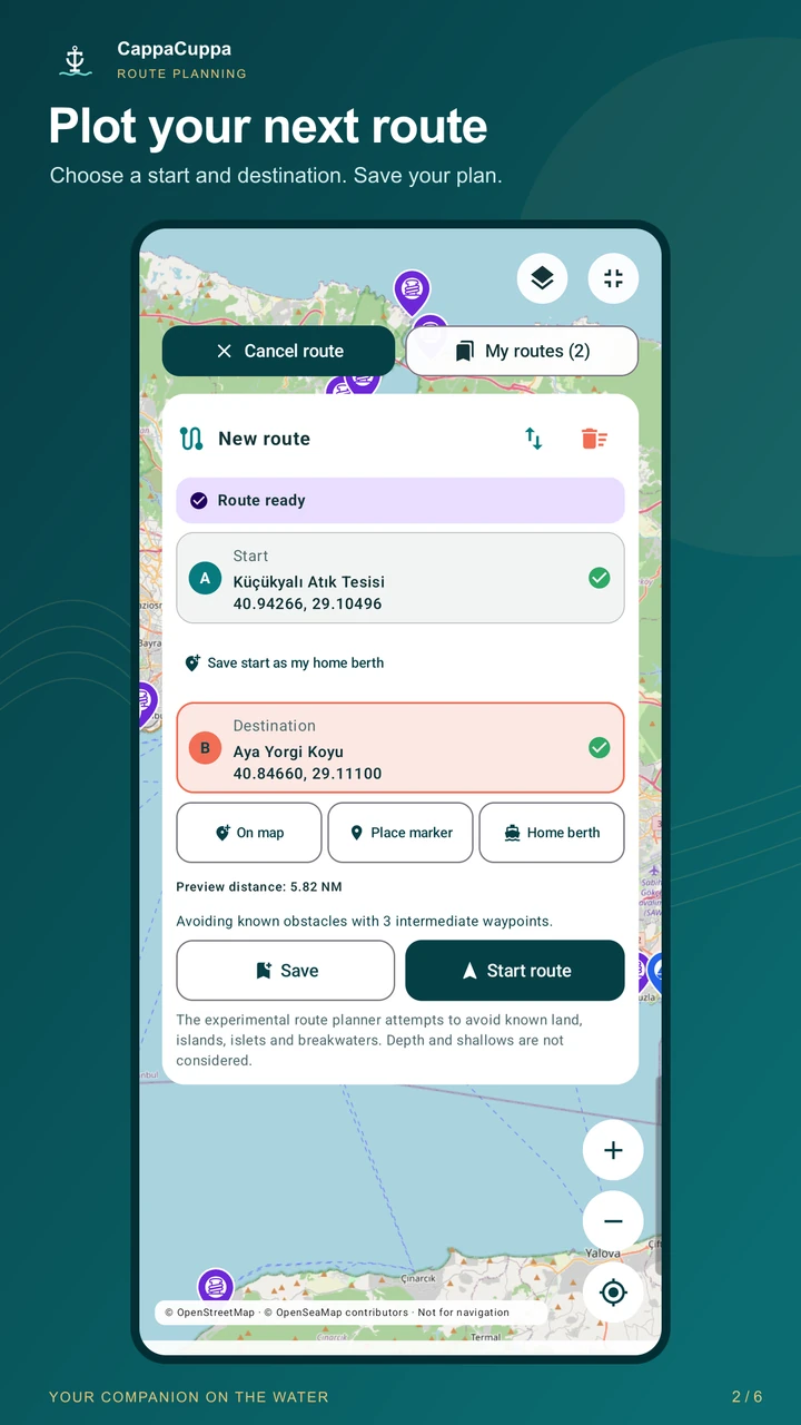
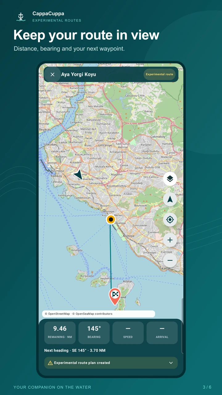
Create experimental boat routes that consider known land, islands and breakwaters. Save your route, see the remaining distance in nautical miles (NM) and follow your journey on the map.
 CappaCuppaBe better prepared at sea
Now on Google Play
Find marinas, harbours and anchorages; check the wind forecast, save your route and monitor your boat at anchor. CappaCuppa is your boating companion for sailing, motorboating and fishing.
ALL IN ONE APP
Create experimental boat routes that consider known land, islands and breakwaters. Save your route, see the remaining distance in nautical miles (NM) and follow your journey on the map.
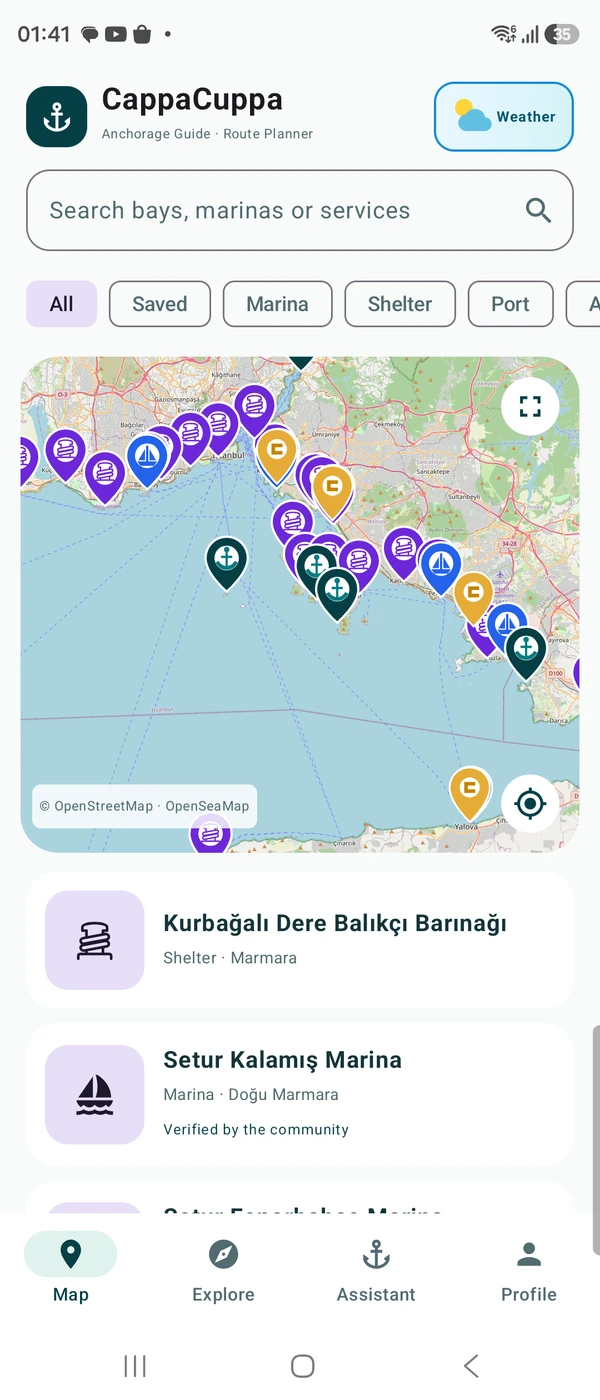
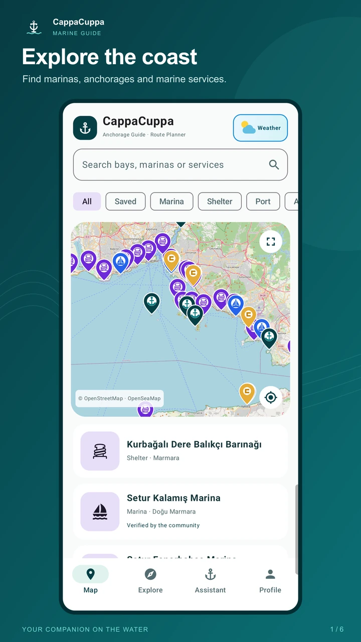
Search the map for marinas, ports, fishing harbours and anchorages. Find fuel, water, waste disposal, boat maintenance and haul-out services, and save your favourite places.
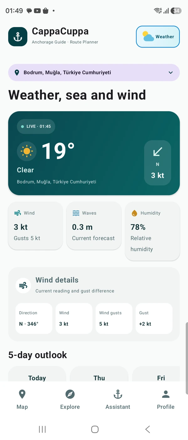
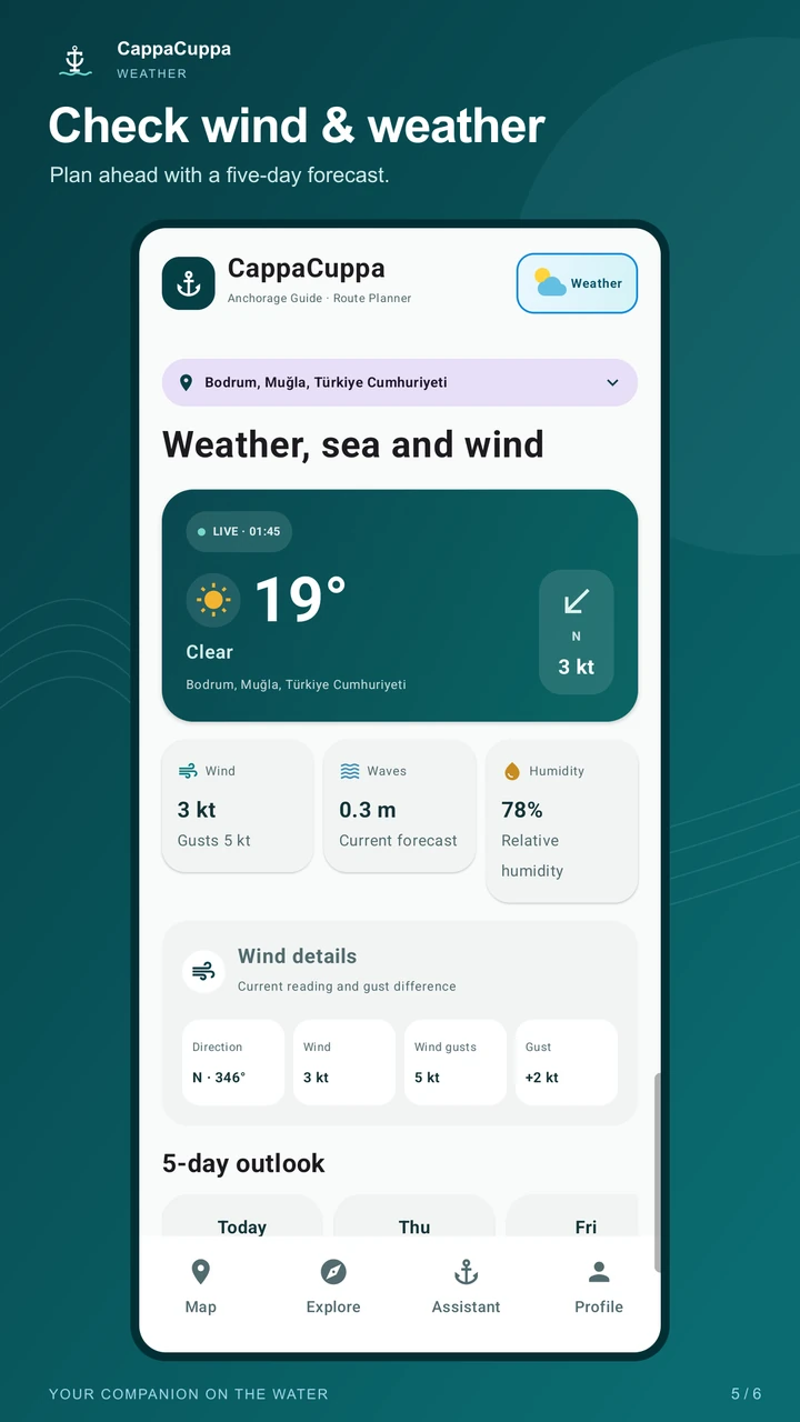
Choose a forecast time on the animated wind layer and see wind speed in knots (kt). Check local weather and wave height forecasts before setting off.
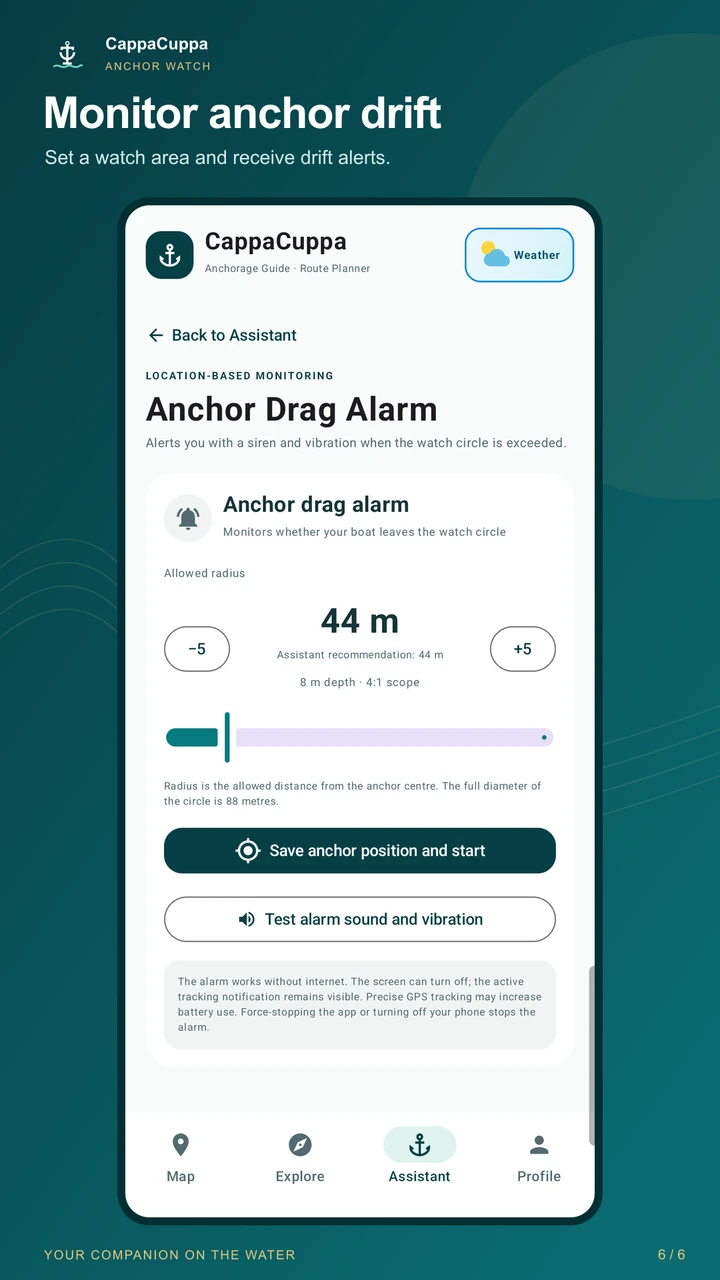
Set an alarm area with the anchoring assistant and monitor your boat’s movement. Anchor watch is a supplementary alert, not a replacement for the skipper’s supervision.
View available AIS vessel positions on the map. Coverage and delays vary; this layer does not show all marine traffic and is not a collision avoidance system.
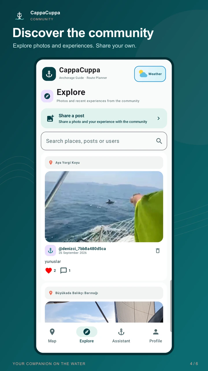
Explore location-linked experiences and photos, and share your own cruising notes. Add friends and manage friend requests in My Community.
BEFORE DEPARTURE · UNDER WAY · AT ANCHOR
CappaCuppa brings a marine route planner, marina guide and anchoring assistant together in one Android app. Use it in Turkish or English, and explore places alongside experiences from other boaters.
Search for a marina, harbour or anchorage, then review its details and community posts.
Check wind and wave forecasts and create your experimental route. Cross-check it against up-to-date official nautical charts.
Open your saved route and follow distance and bearing; set up anchor watch when you anchor.
INSIDE THE APP
Discover marinas and bays, plan your route, check weather forecasts and learn from other boaters’ experiences.
NAVIGATION SAFETY
Route planning in CappaCuppa is experimental. Depth, shoals, marine traffic and temporary obstacles may not be included in calculations. Verify navigation decisions using up-to-date official charts, weather conditions, local rules and your judgement as skipper.
COMMON QUESTIONS
It is a boating app for sailors, motorboat owners and anglers. It combines place discovery, experimental route planning, weather forecasts and anchoring tools.
No. The experimental route engine attempts to avoid known land and obstacles; it does not calculate depth or shoal clearance. Estimated depth shown on the map is not a guarantee of safe passage. Use up-to-date official nautical charts.
No. The AIS layer only shows transmissions received by its data source; positions may be delayed or missing. Other vessels may not appear. It cannot replace a lookout, radar or an onboard AIS device.
CappaCuppa is available on Google Play for Android devices. It supports Turkish and English, and you can change the app language in settings.
BE BETTER PREPARED AT SEA
Download CappaCuppa on Google Play and explore your boating tools.